
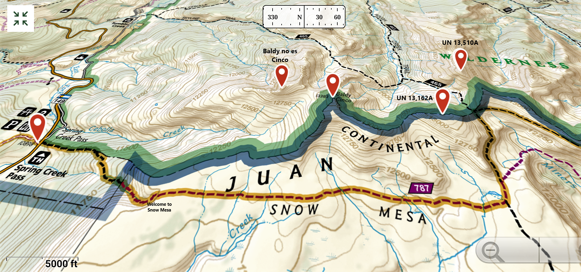
Peaks: “Baldy No Es Cinco” (13,313′), Baldy Cinco (13,383′), UN 13,162 A, UN 13,510 A
Date: July 14. 2019
Where: La Garita Wilderness
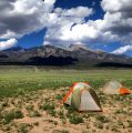
Trailhead: Spring Creek Pass (10,898′)
Route: Ridge traverse returning via Snow Mesa along the Colorado Trail.
Distance: ~15 miles
Elevation Gain: ~4,800′
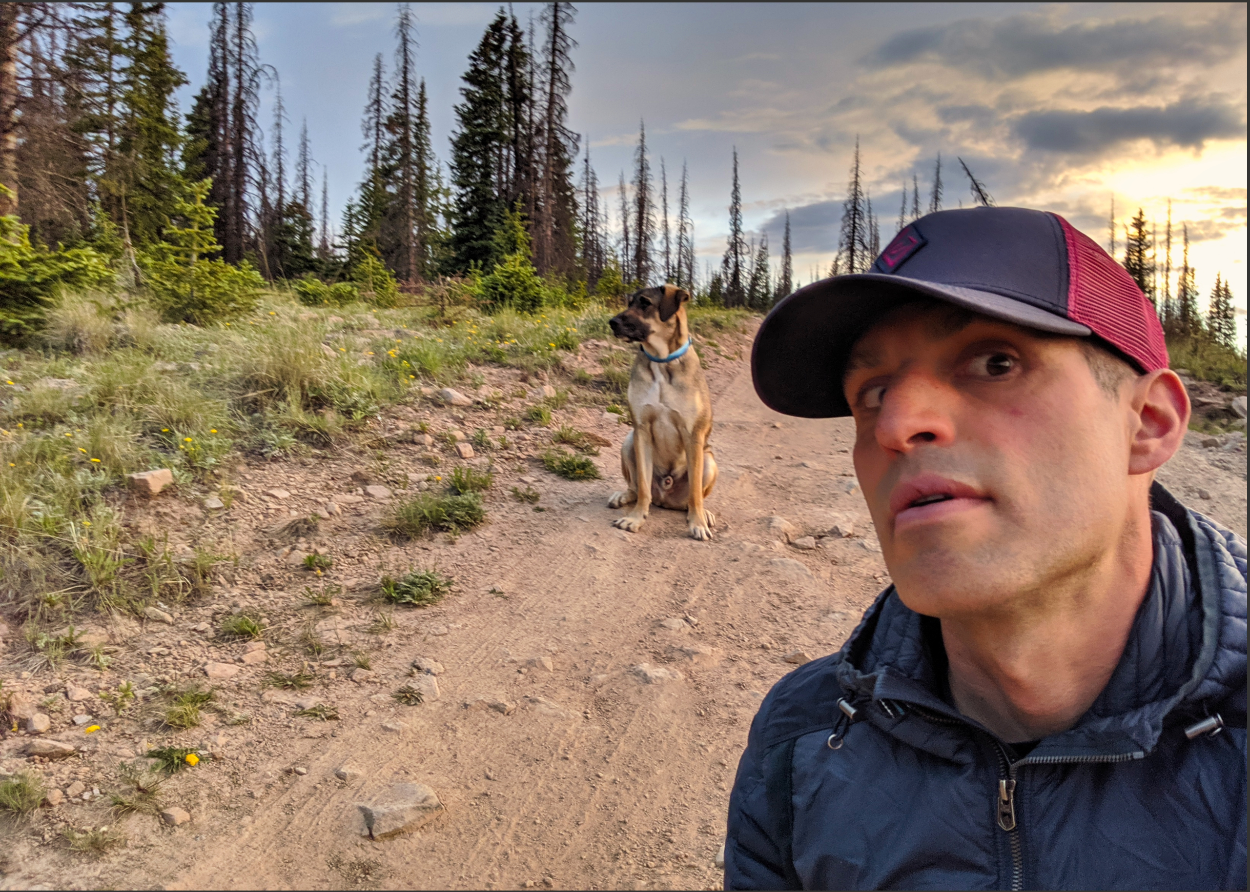
Human Participants: Dillon Sarnelli
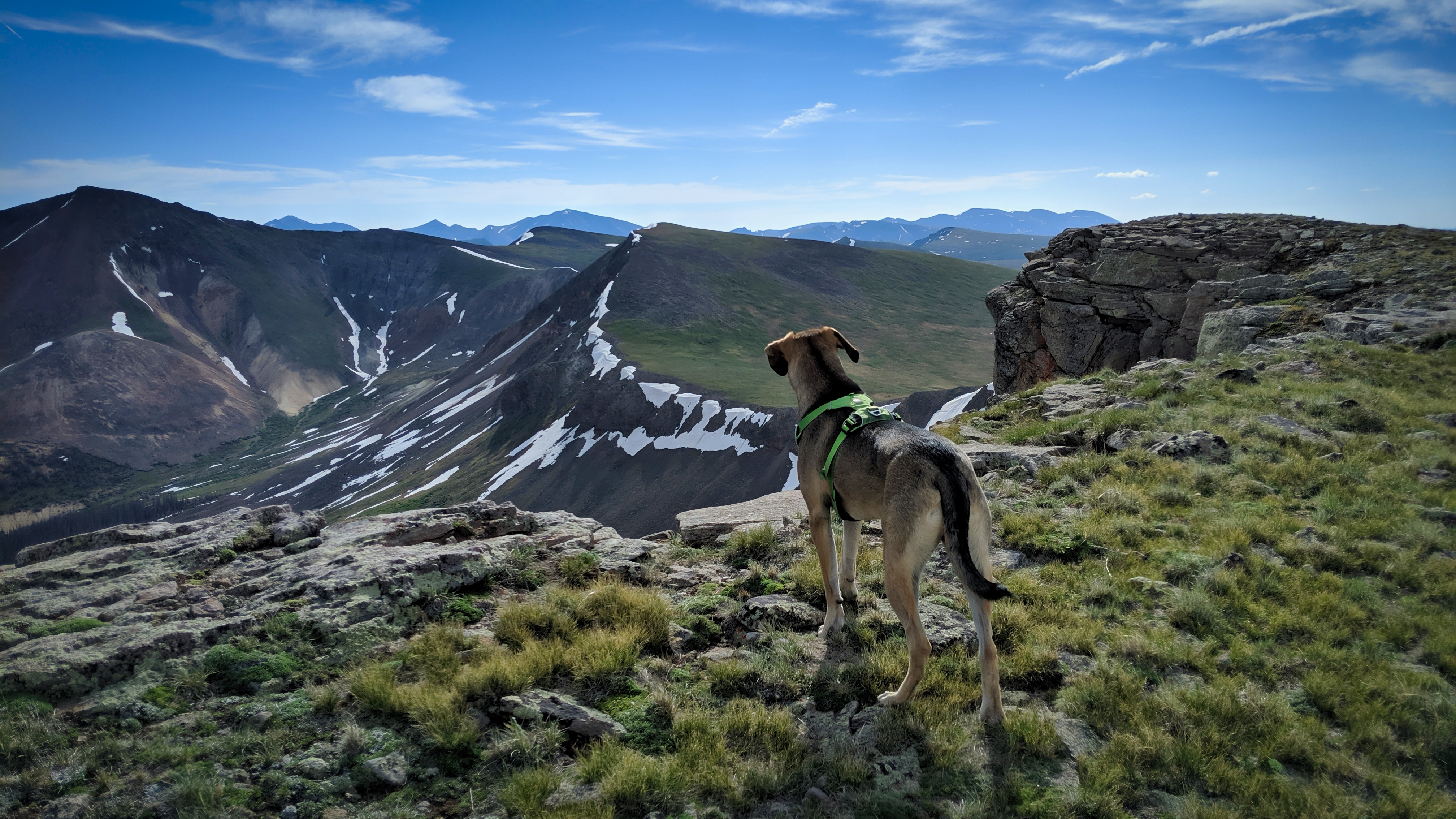
Canine Participants: T. Rex Sarnelli
Time: 8 hours
Don’t get me wrong, I like snow. I like it a lot actually. By mid July, however, I’m tired of falling down, sinking up to my elbows, and really just want to move quickly. If there was a magical place in 2019 in Colorado that could fulfill those 3 criteria, I was going to find it. Welcome to the La Garita Wilderness.


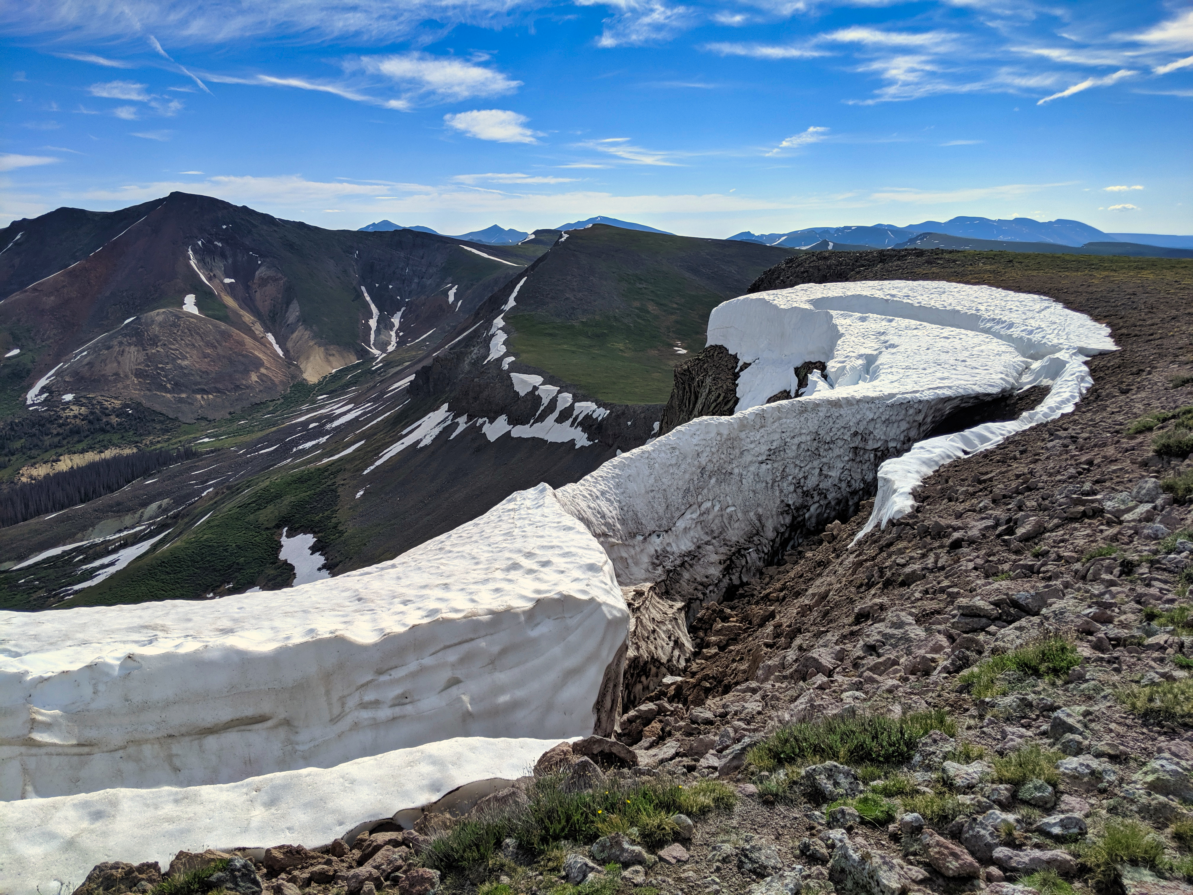
The Colorado Trail exits the trees just below Snow Mesa via a small canyon. Ascend the eastern wall and welcome to Snow Mesa. It’s huge. Choose your own path or stay on the CT as long as you like.

They’re not as far as they look or maybe they are. I aimed for a spot high on Baldy no es Cinco’s eastern slope and went for it.


Name that peak? All 300+… Go.
Looking southwest I was able to gain some perspective into a few of the routes I had used on several Weminuche outings. From the southeastern end of the Rio Grande Reservoir and I could see directly up the Los Pinos River drainage used to access RGP and the various surrounding 13ers. From the northern end of the reservoir and I could see where I crossed the the Rio Grande and meandered up Ute Creek to access the Oso group a few years back.
Back on topic, the traverse over to Baldy Cinco is short and uneventful.
The traverse over to 162 A also goes quickly. Long, but quick.
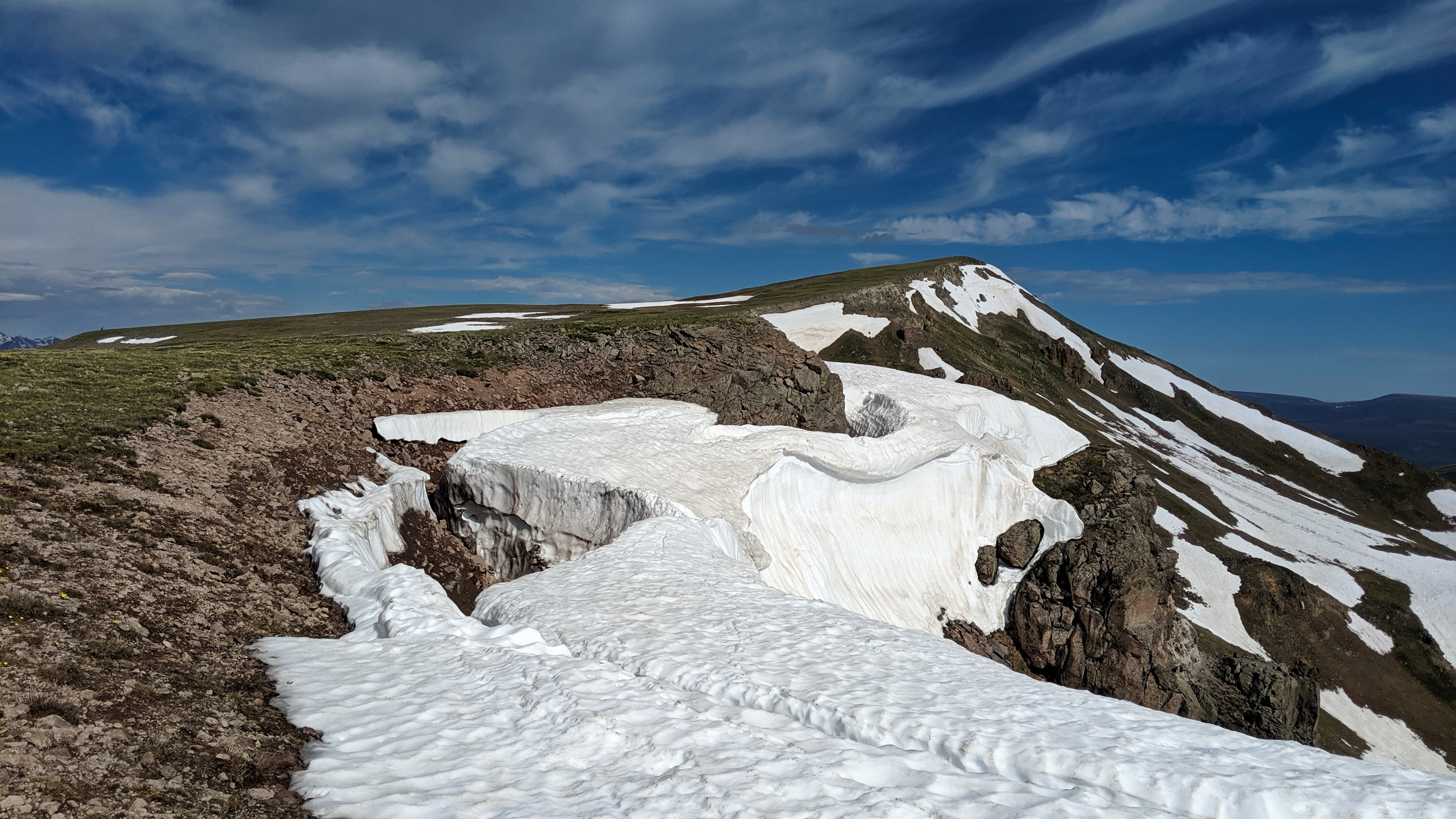


From the top of 162 A I briefly dropped off the ridge to avoid a snow slope and aimed for the CT at the low point of the saddle pictured below. From there I followed the CT around the rocky terrain and chose the path of least resistance to 510 A’s ridge line.

From the ridge a class 2 hike and few hundred vert will get you to the summit of UN 13,510 A.

4 for 4. Time to head home. Weather still holding. Drop back down to the CT and follow it for ~6 miles to Spring Creek Pass.


Thanks for reading all. I can’t even remember the last time I wrote a trip report. Feels good.
