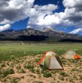

Trail Ridge Road in Rocky Mountain National Park is the highest continuous paved road in the United States, with more than 10+ miles lying above 11,000 feet. Contrary to popular belief, the entire road is actually always “open”. You just can’t bring your car with you from October through June. With the absence of a motorized vehicle and the addition of snowshoes, even an easy peak, one just a half mile off of the road like “Trail Ridge”, becomes quite a feat. Scot drew up the plan. It included 3 ranked peaks that would make any driveaneer drool in the summer. While Scot was certainly up to the task, I was unsure if I had it in me after sitting in a chair for 3 months, but knew I had to give it a go. Fast forward to Friday and we both found ourselves standing at the gate at Many Parks Curve ready to put in some miles.
Ranked Peaks of the Park: Tombstone Ridge (11,722′), Trail Ridge (12,355′), Sundance Mountain A (12,466′)
Date: April 18, 2014
Start/Finish: Many Parks Curve
Distance: 21.5 miles
Elevation Gain: 5,320 ft.
Participants: Scot Osborne, Dillon Sarnelli
Time: 13 hours

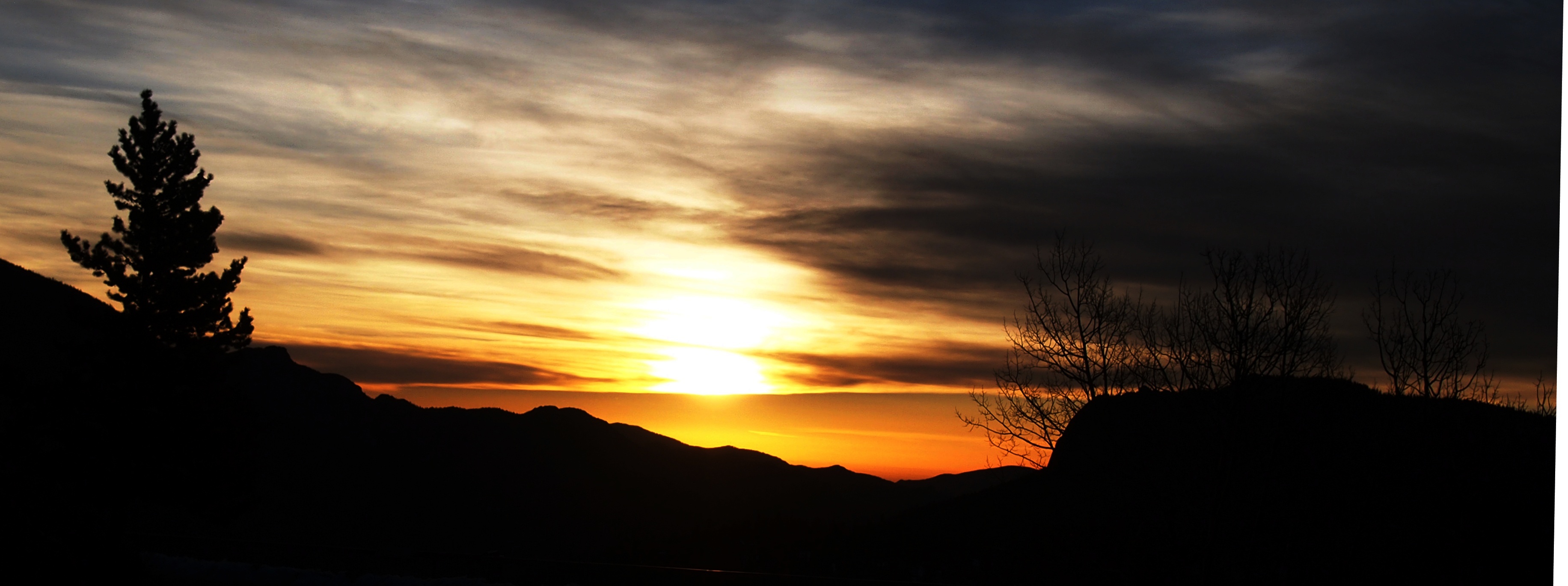
We set out at about 6:30 AM from Many Parks Curve. I ran around the bend just before we began hiking to snag this shot of the sun rising. Any Rocky Mountain sunrise is great, but there’s something special about a sunrise in Rocky Mountain National Park.
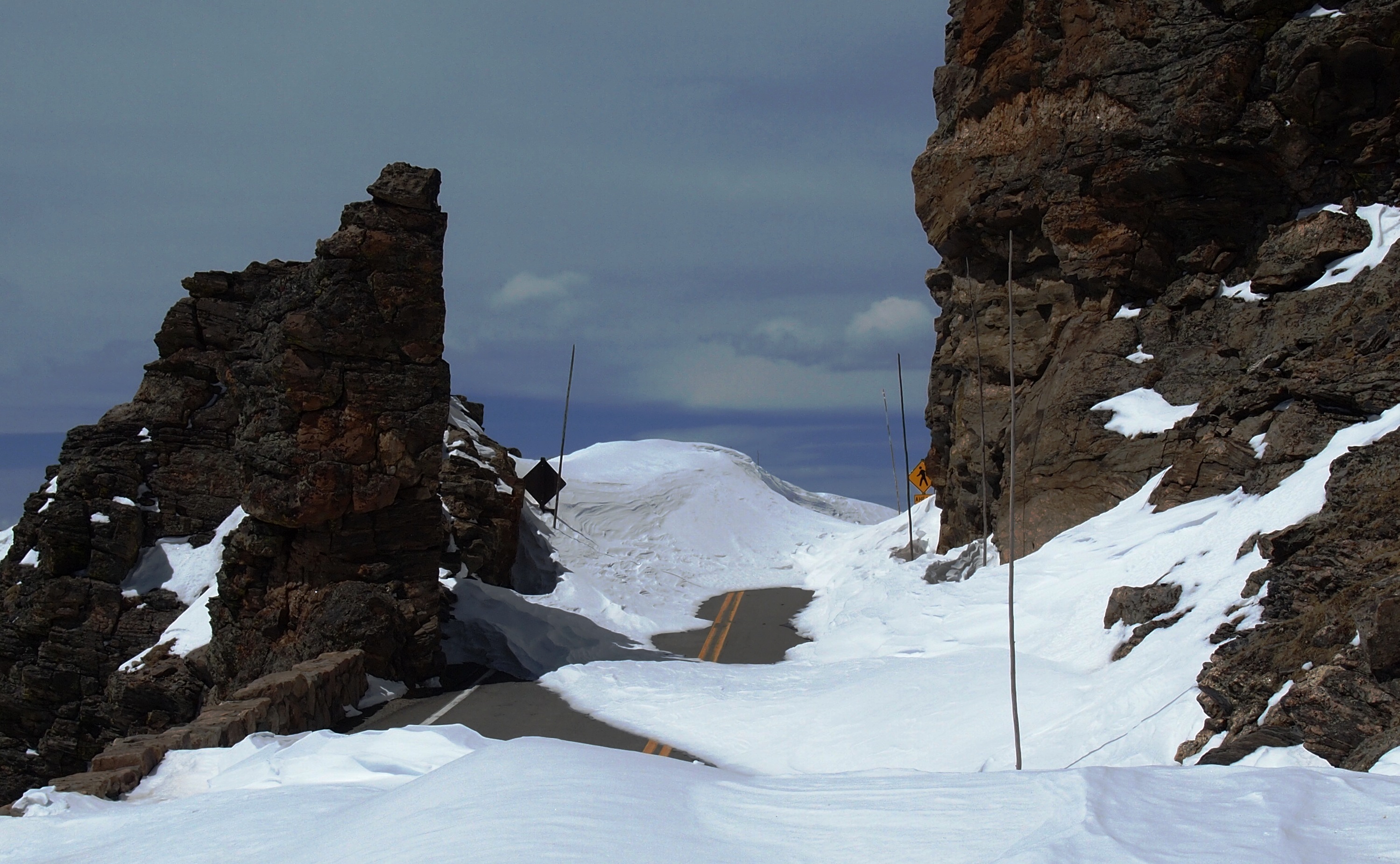
Soon after, we were off. Beyond the gate the road was plowed to the pavement for the first half of a mile or so, providing a very false sense of what we had actually signed up for. The snowshoes went on about a mile later. At around mile 2 we left the road and headed up a snow slope toward Tombstone Ridge and the Ute Trail about 2,000 feet above Many Parks Curve.
We continued along Tombstone Ridge, eventually hitting the Ute Trail, and then continuing on to Trail Ridge Road.


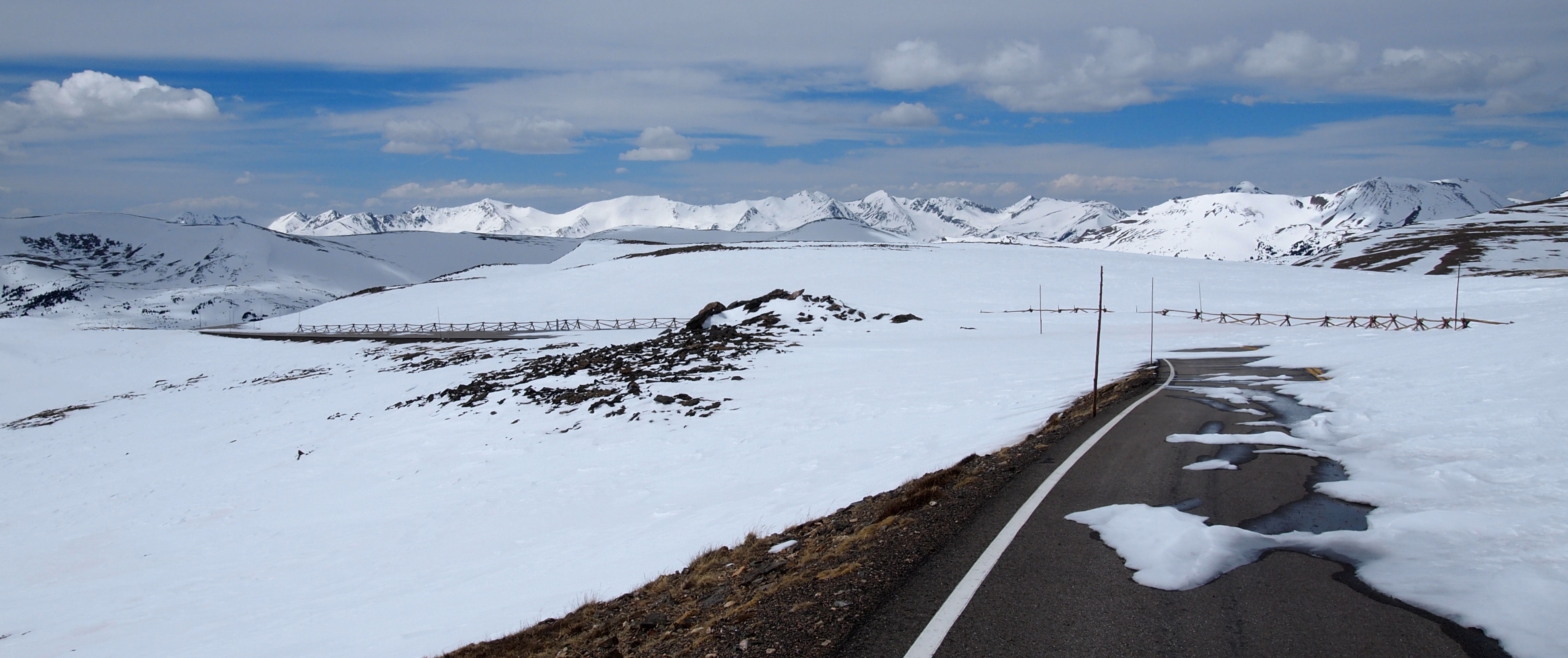
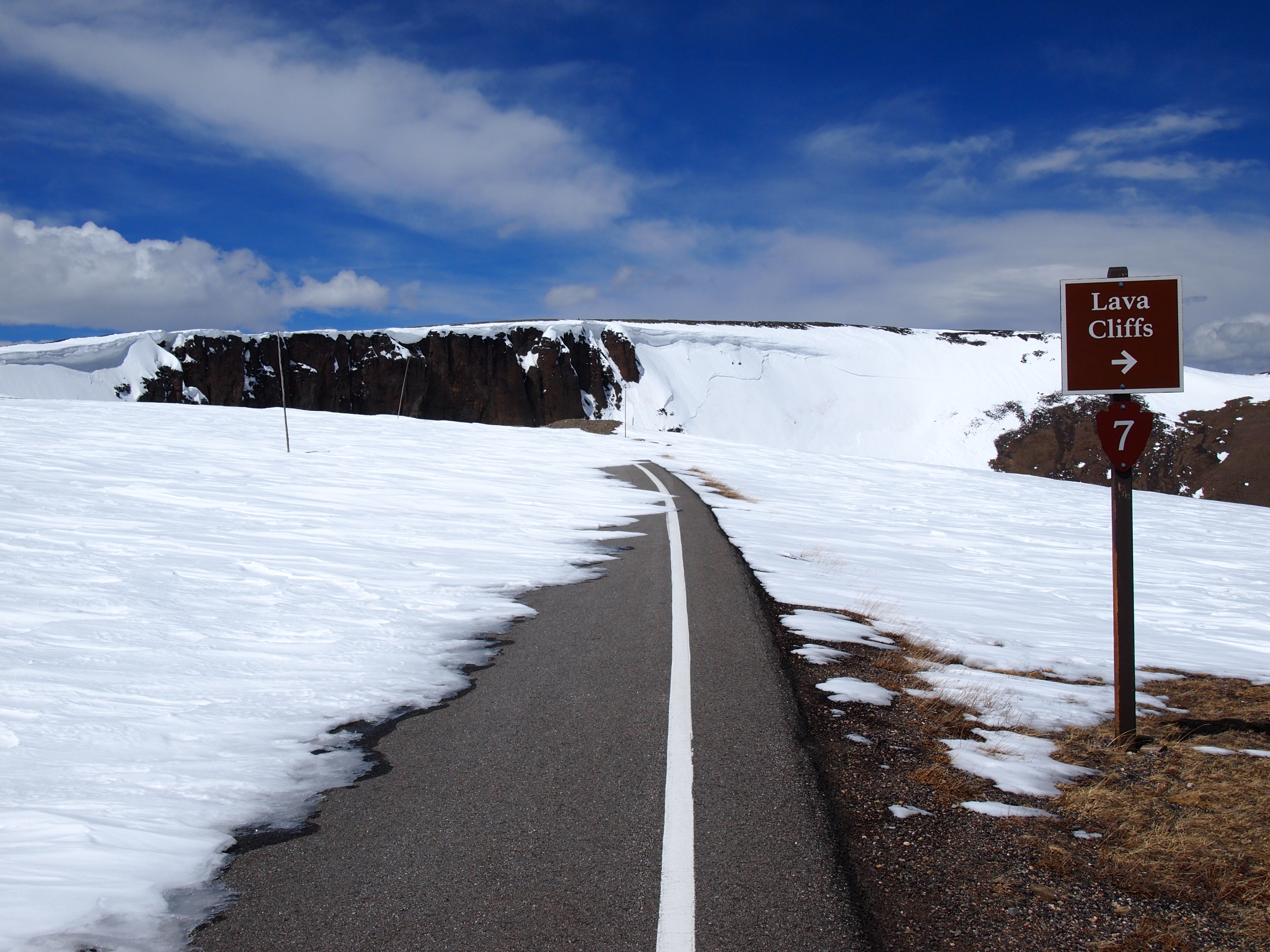
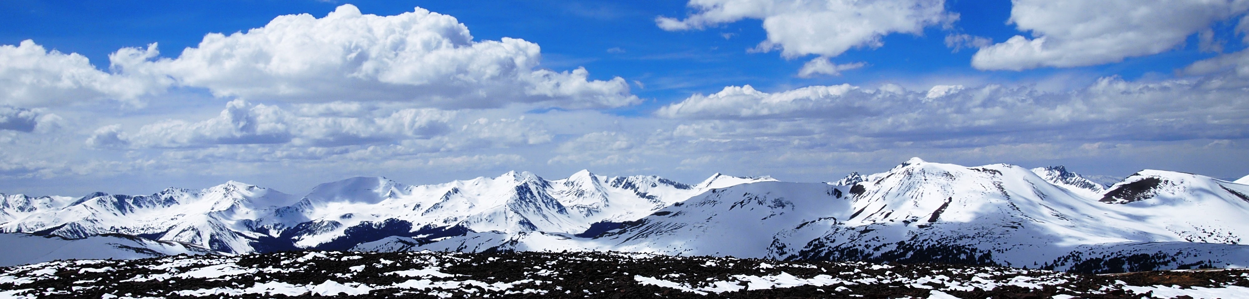
We took a breather at the Rock Cut. It also made a nice windbreak. From here we headed for Iceberg Pass along the road and then made a B line through the snow covered Tundra Curves. The views of the Never Summers really began to take shape.
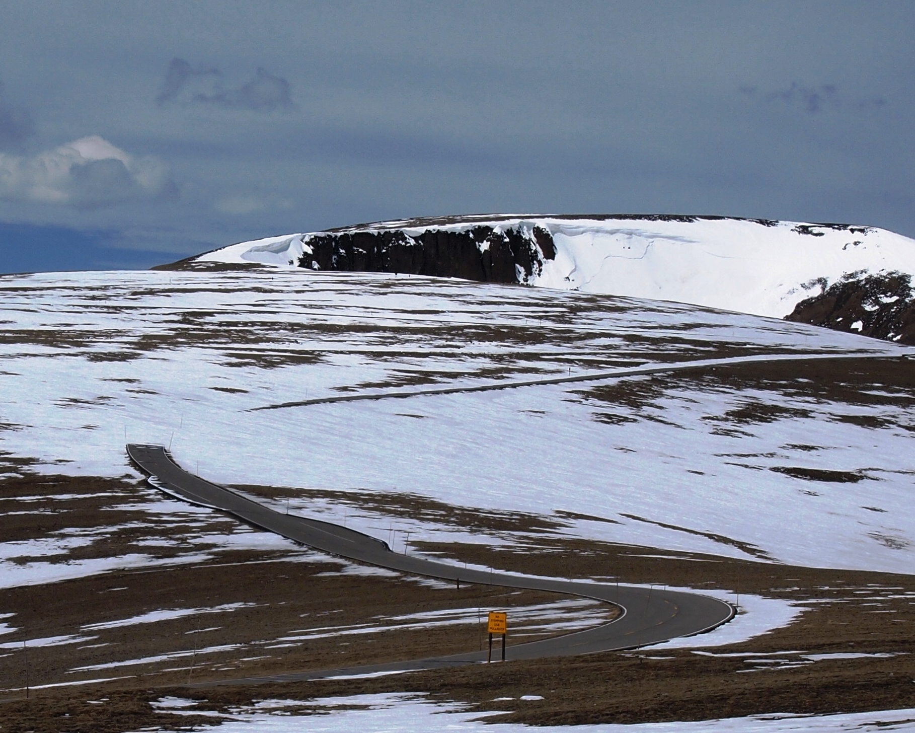
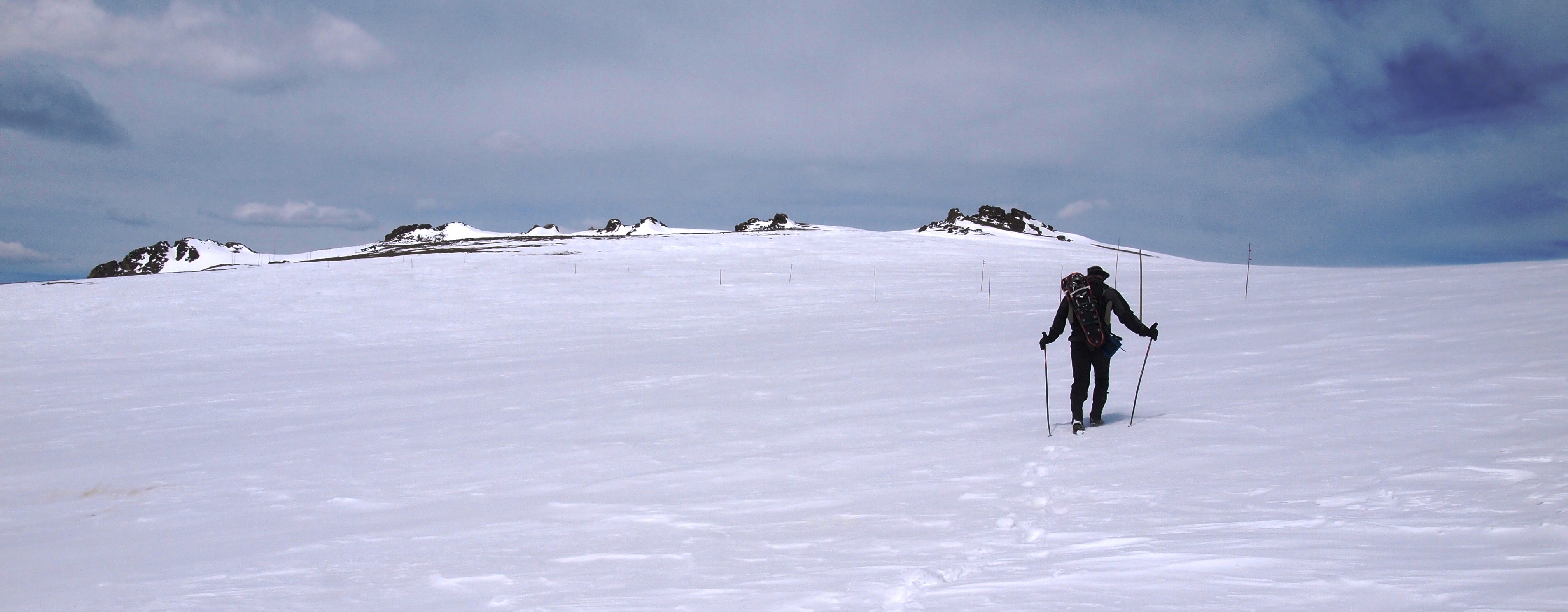
The Trail Ridge summit sits at the high point above the Lava Cliffs and, believe it or not, is a ranked summit. In the summer it is easily accessed from the Alpine Visitors Center.
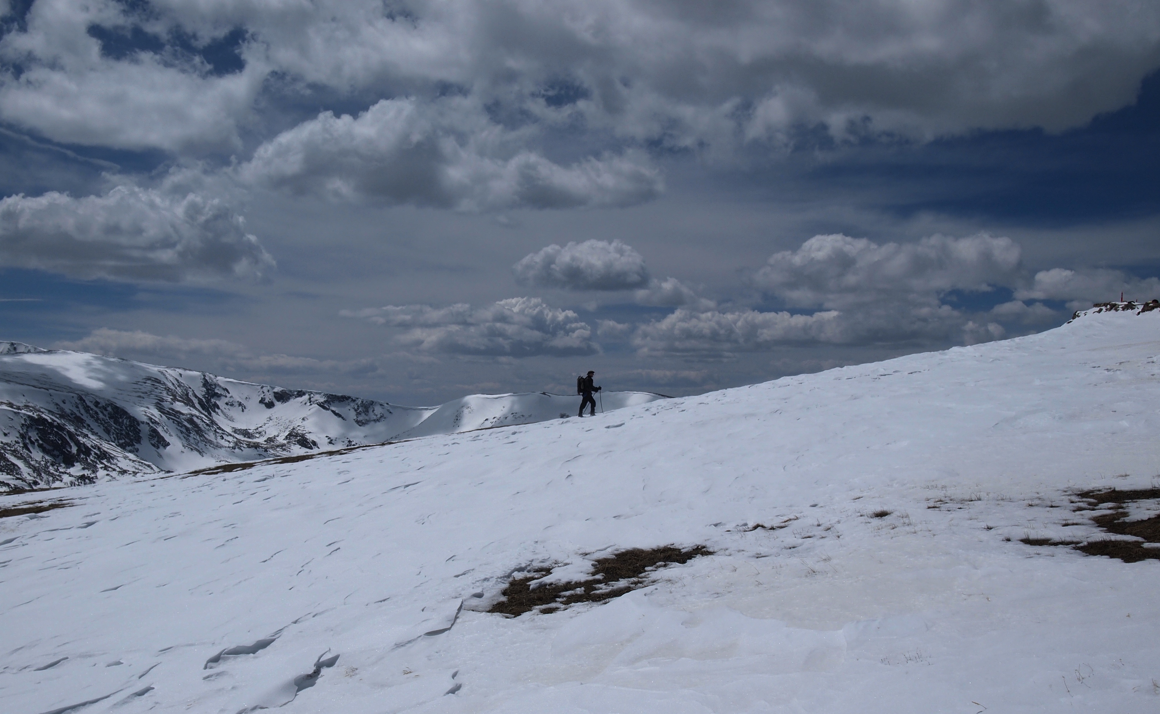
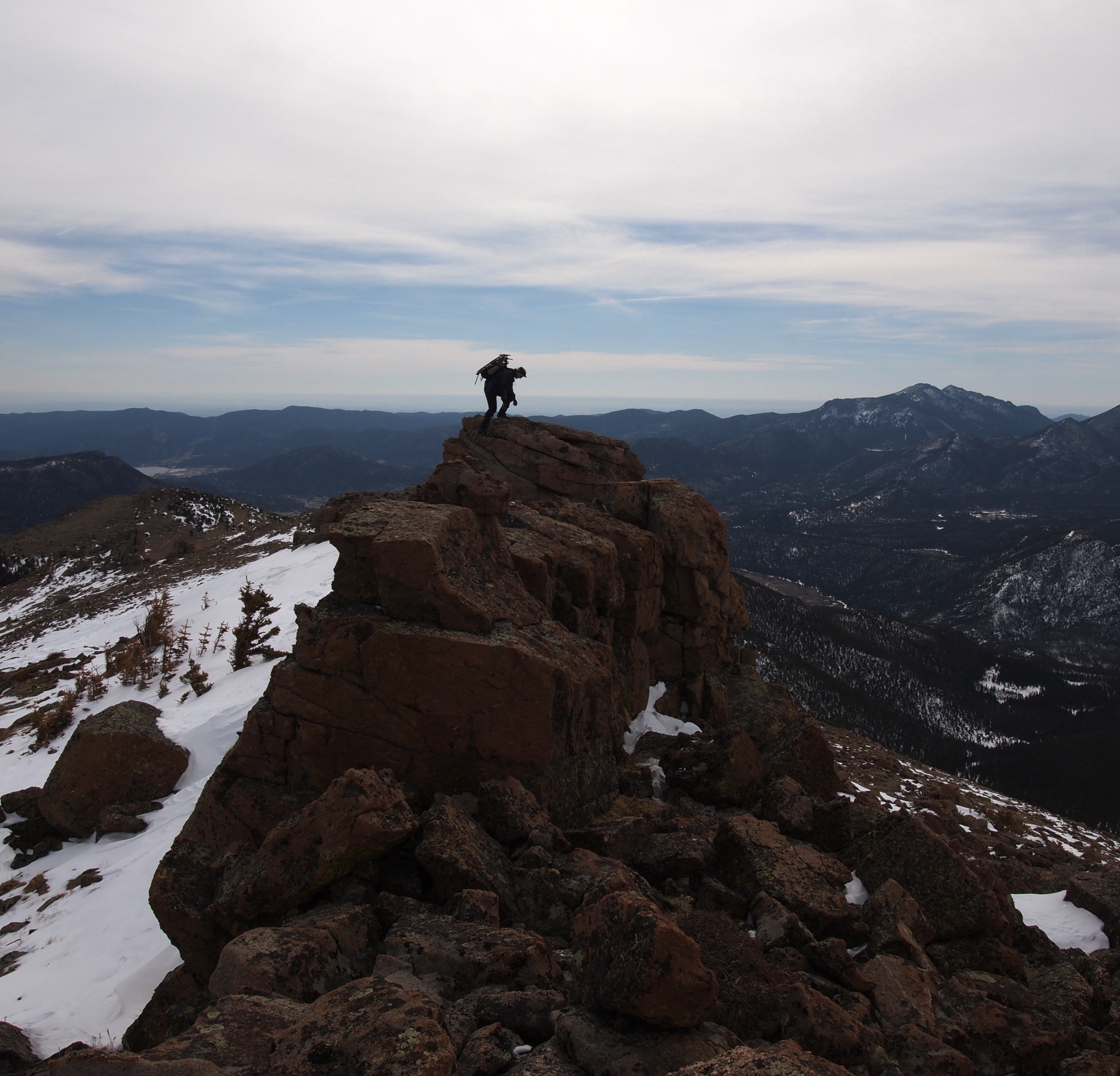
From here we turned around and followed our tracks back down to Iceberg Pass. We then left the road, bypassing the Rock Cut, and headed for Sundance Mountain A. It was on this portion of the trek that we both looked at each other wondering if we had it in us to push for yet another summit. As we were about to shift gears from downhill to uphill mode and gain about 1,000 feet, Scot asked what I thought. I think I smiled and mumbled something like, “Well, we’re already this far!”. He smiled and seemed to agree. 20 minutes later we found ourselves atop Sundance.

We descended Sundance on it’s eastern snow slope and eventually made our way back to the road at the Ute Crossing TH. Rather than reascend Tombstone Ridge, we opted to stay the road. This added quite a few miles since we would have to round Rainbow Curve, but it guaranteed we’d avoid any additional uphill and kept the postholing to a minimum. We arrived back at the car at exactly 7:30 PM, 13 hours after we had initially begun.

Scot, it was a pleasure to get out there with you. After I had 24 hours to regain the feeling in my legs it occurred to me that I really enjoyed this! Thanks again and an additional thanks for introducing me to Wapitis in Estes. It’s a toss up with Ed’s, but I will say that my Gordon’s never tasted so good!
Until next time… Thanks for reading.
